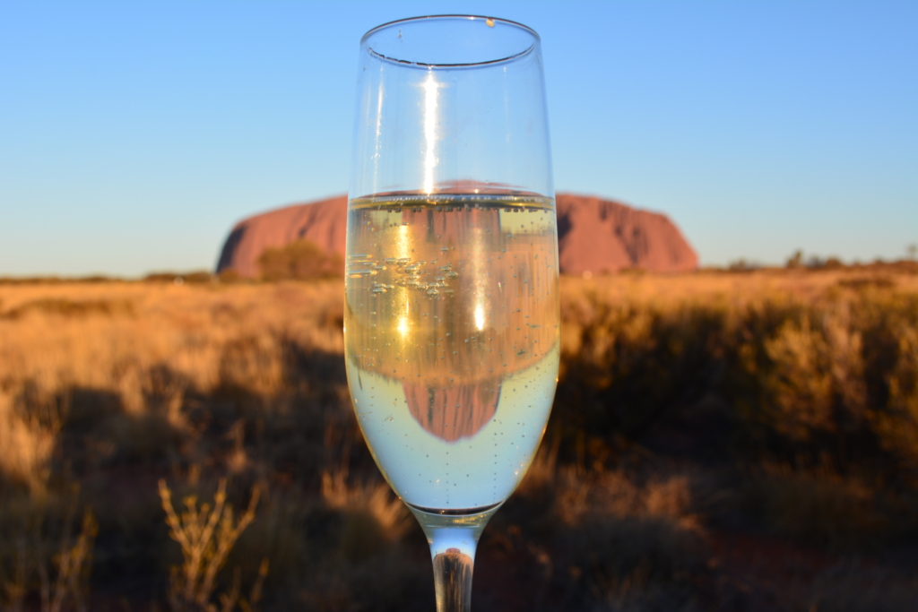
Uluru on Your Own: Getting There and What It Was Like
Translated from my original Japanese post (2019). 日本語の原文を読む →
Hi! It's Yoko, a food blogger who eats her way around the world.
"Next year you won't be able to climb Ayers Rock anymore."
I heard that last year and thought, I want to go someday! Around June this year, I suddenly decided to make the trip to Ayers Rock.
Since I was going all the way to Australia anyway, I added not only Ayers Rock but also Melbourne, said to be a foodie city, and Sydney.
Everyone who's been to Sydney told me it's not that great... but somehow I wanted to see the capital.
It was an 8-night, 10-day schedule, all arranged on my own!
I spent 3 nights at Ayers Rock, and of the 3 cities I stayed in, Ayers Rock had by far the least information, and I spent a lot of time on research...
So for anyone like me who is planning to go to Ayers Rock on their own, I've put together how to get there!
How to get to Ayers Rock
First, you fly to the airport closest to Ayers Rock, Ayers Rock Connellan Airport.
Unfortunately, there are no direct flights from Japan to Ayers Rock Airport, so you need to connect via Sydney, Brisbane, Melbourne, Cairns, or similar.
Qantas and the low-cost carrier Jetstar (part of the Qantas Group) operate flights there.
You can search flights with an app called Skyscanner, so once you find one that suits you, book it.
The recommended seasons for visiting Ayers Rock are autumn (April and May) and spring (September and October), when there are fewer flies.
This time I started my trip around the end of September.
I flew Qantas from Narita Airport, connecting in Melbourne.
After a light bite at TATSU SUSHI, it was a 10.5-hour flight to start!
It was my first time on Qantas.
When I picked up the headphones to watch a movie, they were wrapped in paper and I couldn't pull the cable out.
The paper said "please don’t tear."
I carefully peeled off the sticker holding it shut, and it turned out not to be plain paper but an envelope.

Apparently you put money in it and hand it to the flight attendant to donate to UNICEF.
With an envelope right in front of you, it's easier to picture donating, so it's a clever approach.
The meal offered a choice of sushi, chicken, or pasta, and I chose chicken and pasta.
Dessert was a caramel and pear mousse.
Chicken in a mustard cream sauce
with broccoli, mushrooms, and potatoes

Casarecce pasta with grilled vegetables in a tomato garlic sauce, with Parmesan cheese

Both were delicious!
In-flight meals departing from Tokyo really do taste better, I think.
What surprised me was the warm bread roll.

It smelled so good, and then I found melted butter inside the bread!
And quite a lot of it, too. The middle was soaked with butter.
I ate it all and got really full.
We'd arrive in the morning, so I went to sleep soon after.
ZZZ...
The next morning!
Breakfast was orange juice, lots of fruit, and a cream-filled bun.

The fruit was sweet and juicy! As with dinner, it had that Japanese quality.
I connected to Jetstar in Melbourne, and it was a 3-hour flight to Ayers Rock.

As we neared the ground, Ayers Rock came into view.

A reddish desert that goes on forever.
There are no buildings at all!!
Before I knew it, we'd landed safely at Ayers Rock Connellan Airport.

We walked down the steps from the plane and into the airport.

Ayers Rock Connellan Airport is tiny. About the size of a kindergarten in Tokyo.
Baggage claim, check-in counters, the departure lobby, and the car rental and tour desks are all on one floor, which is convenient, lol

If you're going on your own, rent a car
If you're not booking an Ayers Rock tour, you'll need a rental car to get around.
I had booked online, so I went straight to the desk.
After I showed my name, passport, international driving permit, and driver's license, I was handed the keys and a document listing the car's specs and any scratches.
I had booked without insurance but checked anyway.
The woman at the desk: "If you have an accident without insurance, it'll cost $4,000. But it's up to you."
She had no interest in upselling, lol. In the end I didn't add insurance.
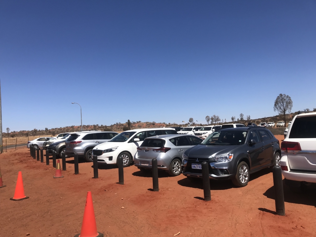
The rental cars are lined up in the parking lot in front of the airport.

With the map she gave me and the clue "the blue Toyota RAV4 in the second row," you find your car on your own.
This was my partner for the trip.

It was smooth: about 30 minutes from landing at Ayers Rock Connellan Airport to getting into the car.
What climbing Ayers Rock (Uluru) was like
After getting the car, I planned to check in first, but
the weather was amazing!
I thought, maybe I can climb today...? and decided to gamble and head straight to Ayers Rock (Uluru)!
Climbing Ayers Rock is tough to pull off!
The conditions for climbing Ayers Rock are extremely strict, and if there's even a bit of wind the climb is closed.
It's only open about 30% of the time.
The climb is closed:
when the temperature reaches 36 degrees Celcius or above
during the hot summer months December, January and February after 8am
(Australia is in the Southern Hemisphere, so this is midsummer. It's too hot unless you climb early in the morning.)
when there is a greater than 20% chance of rain within three hours
when there is a greater than 5% chance of thunderstorms within three hours
if the estimated wind speed at the summit reaches 25 knots or above
(Large branches move. Wires hum. Umbrellas are hard to use.)
if more than 20 per cent of the rock’s surface is wet after rain
if cloud descends below the summit
the climb may also be closed for cultural reasons
To find out if the climb is open enquire at your hotel reception or at the National Park entry station.
Right, I should have cleared every closing condition except "cultural reasons."
My heart pounding, I drove toward Ayers Rock.
In the language of the Aboriginal people, Ayers Rock is called "Uluru."
Uluru is inside Uluru-Kata Tjuta National Park, and entry costs $25 per person.
At a gate like a highway toll booth, I scanned the QR code of the ticket I'd bought on the official Uluru-Kata Tjuta National Park website and went in.
After about 30 minutes of driving, Ayers Rock appeared! I can see people climbing!

To raise my chances of climbing even a little, I'm so glad I chose a flexible rental car instead of a tour!
It would be awful if the weather changed and the gate closed.
I parked quickly and hurriedly changed into hiking clothes.
Sunglasses, check! Hiking shoes, check!
I hadn't had lunch, but I had Jagabee (potato sticks) and water! (I brought 6 liters of sparkling water from Japan.)
The sign by the gate says it takes 2 to 3 hours.

Psyching myself up, I started the climb!
Stage 1: the trial of the rocky section
Now, I'll explain what the climb was like by arbitrarily dividing it into 10 stages, from stage 1 to stage 10 (the summit).
The first 15 minutes or so is a rocky section where they say, "If this is hard for you, you should give up on reaching the top."

This is less an Ayers Rock hike than an Ayers Rock rock-climb...
Seniors in their 70s and older who don't normally exercise will get weeded out right here.
Along the way I kept running into kids climbing in tears.
I thought it looked too hard unless you're in the upper grades of elementary school or older, and somehow made it through the first checkpoint!
Stages 2 to 6: chain section hell
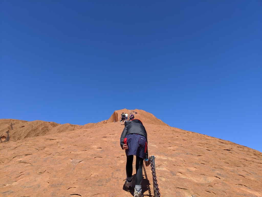
From stage 2, a long chain section begins.
In the first half I still had the energy to take photos in silly poses...
(holding down my hat so the wind doesn't blow it off)

From the second half, the slope gets brutal.
This isn't a photo shot from below, you know...
The wind comes up now and then, and each time it nearly blows me off!
The closing condition about strong wind makes total sense.
Stages 7 to 9: white-line up-and-down hell
Whenever climbers passed each other, we'd chat a little, "How much farther?" "A few dozen minutes! Hang in there!"
Around when the end of the chain section came into view, someone coming down told me, "Almost there! Follow the dotted line over some gentle ups and downs and you're at the top!"
I'd thought the top would come right after the chains, but no...
This time you climb following a white dotted line painted on the ground.

The white line mostly runs along the ridge (the high part), but with no chains, you'd tumble down if you missed a step!

You could die here if you're careless.
The closing condition about the ground near the summit being wet from rain makes sense too.
Stages 9 to 10 (the summit): what a view!
The closer you get to the summit, the more intense the ups and downs get.
There's even a slope so steep you wonder, "Is this a wall?"

You have to use your hands, so if you have nail art, work gloves might be a good idea.
And so I climbed...
.
.
.
went down...
.
.
.
climbed again...
.
.
.
repeating those ups and downs over and over...
.
.
.
and finally!!
I reached the top of Ayers Rock I'd longed for!!
At the summit there's a drum-shaped cylindrical marker.
Kids were touching it and saying, "I made it!"

An hour and a half to get here. That was long!
All around is just land, mountains, and low trees.

After soaking it all in, I started down.
Next up was the Southern Sky BBQ dinner tour! I had to get to the hotel by the meeting time.
I took breaks now and then, gazing out at the wide land.

The way down was as dangerously steep as ever, but I descended full of a sense of achievement, lol

The Southern Sky BBQ dinner tour continues in the next post.